by WeatherOps, on Mar 10, 2014 9:42:17 AM
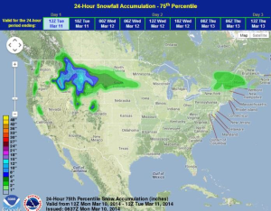
Snow will continue in the higher elevations of the Northern Rockies, but rain will continue for the lower elevations. Across the Northeast, light snow will be possible for the northern portions of the region. Showers and thunderstorms will be possible for the coastal areas of Texas into Louisiana.
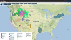
Current NWS Advisories/Watches/Warnings in iMapPro:
An area of low pressure just to the south of Texas will continue to allow for showers and thunderstorms along the Texas coast line into Louisiana. While severe weather is not anticipated, moderate to heavy rain, frequent lightning, and wind gusts to 40 miles per hour will be possible. Moderate to heavy snow will also be possible for the Rockies and into the Plains.
Portions of the Upper Northeast will see 2-4 inches of snow ahead of a shortwave trough moving out of the region.
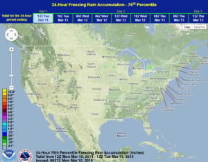
WDT preferred forecast for 24 hour snow and ice accumulation through 7am CDT Tuesday