by WeatherOps, on Mar 4, 2014 9:48:58 AM
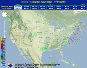
Sleet and freezing rain along the Texas/Louisiana coasts will transition to rain this afternoon. General thunderstorms will be possible through this afternoon. Across the Northern Plains, light snow will be possible for the Dakotas this afternoon. Across the Great Lakes, scattered light snow showers will be possible.
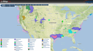
Current NWS Advisories/Watches/Warnings in iMapPro:
A upper level disturbance is moving into Texas with showers from Southeast Texas into Southern Louisiana. Winter Storm Warnings and Advisories are in effect for this region due to sleet and freezing rain. Sleet and freezing rain will eventually transition to rain as temperatures warm to above freezing by noon. Little to no accumulation is expected, but bridges and overpasses will remain slick through the morning. Showers and thunderstorms will also be possible throughout the across the Gulf Coast.
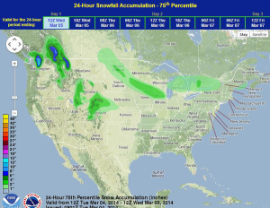
Further north, flurries and light snow will be possible for portions of the Dakotas and Michigan. Significant accumulations are not expected, but 1-2 inches of snow will be possible for portions of the Great Lakes.
WDT preferred forecast for snow and ice accumulation through 6AM Wednesday