by WeatherOps, on Apr 11, 2014 4:28:36 PM
Severe thunderstorms are possible Saturday for portions of the Central Plains and Upper Midwest. Light to moderate snow will be possible for portions of the Northern Rockies and Intermountain West.
An upper level system will move into the Rockies with a warm front lifting through the Central Plains and Upper Midwest. Thunderstorms may develop late in the day from Northeastern Kansas into Iowa. Any storms that develop will have the potential for large hail and damaging winds. A better chance for supercells will exist across Northern and Central Kansas into Southern Nebraska where large hail, damaging winds, and tornadoes will be possible. Storms will also be possible across portions of Oklahoma and Texas where large hail and damaging winds will be possible. Another round of showers and thunderstorms will also be possible across portions of California.
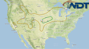
SPC Convective Outlook for Saturday