Lake effect snow is expected today for portions of the Great Lakes. In California, showers and isolated thunderstorms will be possible in the lower elevations with moderate to heavy snow possible for the higher elevations. In the southern US, widespread showers and isolated thunderstorms will be possible through late afternoon.
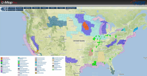
Current NWS Advisories/Watches/Warnings in iMapPro
An arctic air mass is beginning to build into the Northern Plains and Great Lakes. This will help push a stationary front across the Gulf through this afternoon. Widespread showers and isolated thunderstorms will be possible from Texas through the Carolinas, but much of this activity should end by sunset. To the north, the cold air combined with strong winds will allow for low wind chills, light snow, and blizzard conditions. In California, rain and thunderstorms will be possible for the lower elevations and heavy snow possible for portions of the higher elevations. No severe weather is expected.
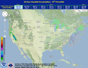
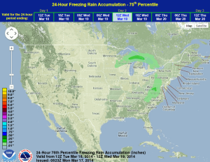
WDT preferred forecast for 24 hour snow and ice accumulation through 6AM Thursday
Heavy winds and strong winds in the Pacific Northwest over the last month have increased the avalanche risk. 17 people have died in avalanches this winter and 11 of those deaths have occurred since early February.